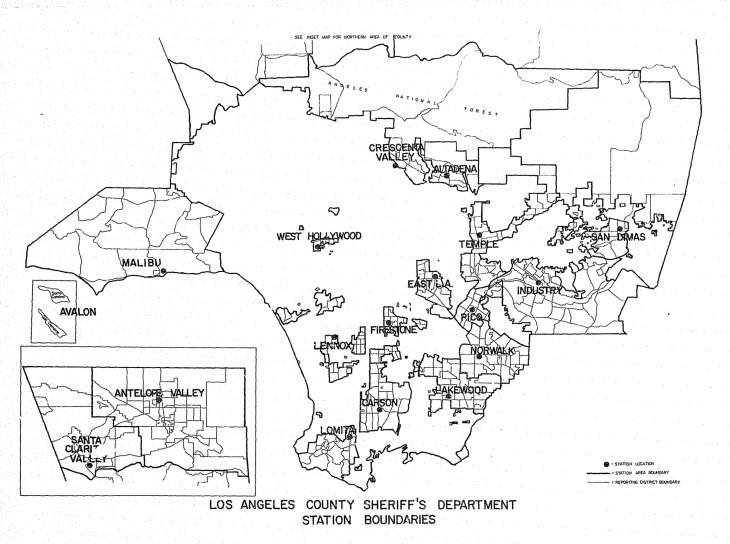
Of the various maps of Los Angeles that I’ve referred to in my research, perhaps my favourite is this one, taken from the LA County Sheriff’s Department 1975-6 report.
Source: Fiscal Year 1975-6 Statistical Summary, Los Angeles County Sheriff’s Department, via NCJRS
It shows LASD station boundaries throughout Los Angeles County; it is, in other words, a map marking out territory under the jurisdiction of the Sheriff’s Department – either unincorporated county land, or incorporated cities that have contracted the LASD to provide law enforcement.
